

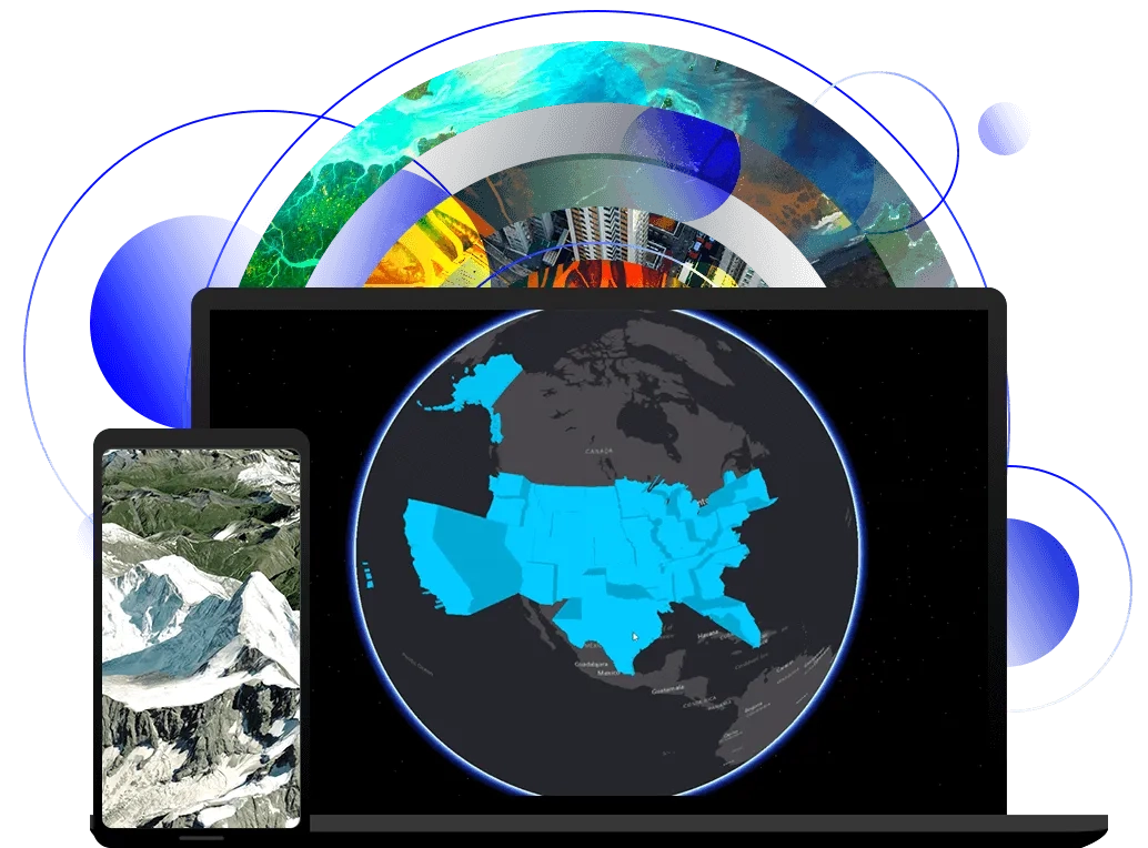
ArcGIS Earth is an interactive 3D experience to plan, visualise, and evaluate events on the globe. ArcGIS Earth provides situational awareness on desktop and mobile devices for improved decision-making. Ingest data in different formats, including 3D models; Keyhole Markup Language (KML), Keyhole Markup language Zipped (KMZ) files; TXT; and open services from ArcGIS or with a URL, to explore areas of interest in 3D. Manipulate KML in its entirety to understand changing circumstances. ArcGIS Earth is a free and easy-to-use tool to quickly fuse, manipulate, and collaborate with 3D data.
Benefits of ArcGIS Earth
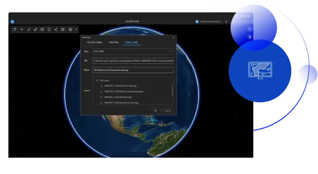
One app for KML and other data
Access data from local files, ArcGIS Online, ArcGIS Enterprise, and the web with a service URL. Add a variety of files, like 3D models, KML/KMZ files, TXT, image, map, feature, and Open Geospatial Consortium (OGC) services. Or leverage Esri curated and ArcGIS ready global location data, including imagery, human movement, environmental, and business data, to support your work.
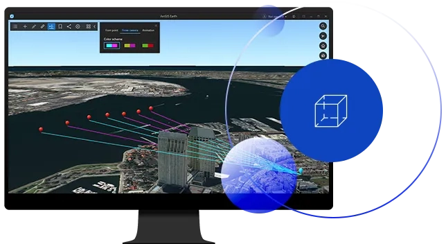
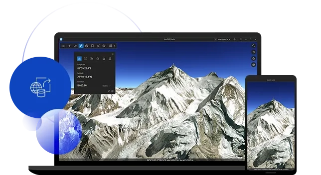
Visualise data in 3D
Visualise data on a 3D globe for situational awareness. Display KML/KMZ and other data; measure models, shapes, and distances; create an elevation profile; and conduct an interactive line of sight and viewshed analysis to plan operations. Use symbology for stronger graphic presentation.
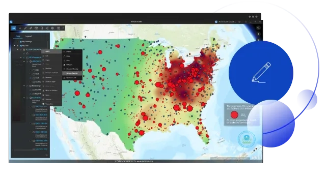
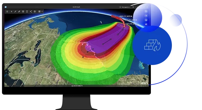
Edit KML in its entirety
Manipulate KML, including editing its feature geometry, network links, screen and ground overlays, graphic styles, and file structure, to reflect changing circumstances and provide up-to-date information. Identify and handle KML errors on the fly, play KML tours, and extrude 2D markups for improved understanding of an operating environment.
Share work in any environment
Save your work and share as a KMZ file in connected and disconnected environments for informed decision-making. ArcGIS Earth provides mechanisms to access and share data for 3D visualization in any environment. Take content offline with desktop or mobile devices.
Deploy on any network
Use in classified and unclassified environments. ArcGIS Earth handles protected services at all network levels for customers behind the firewall. ArcGIS Earth also supports the security protocols you trust, including ArcGIS Enterprise authentication, built-in security, IWA security, PKI security, SAML authentication, and Kerberos.
Ready to learn more? Contact us to speak to a product specialist.
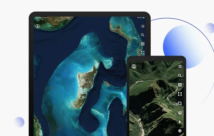
Visualise, analyse, and share data anytime, any place
ArcGIS Earth mobile extends the capabilities of the desktop version right to your fingertips. Browse 2D and 3D content to visualize data on the globe, record and share GPS tracks, and perform the same 3D analysis as the desktop application— all from the palm of your hand. Connect and share information back to a portal with just a few taps.
Support open standards
ArcGIS Earth supports established open standards, like OGC.
Esri has a commitment to standards and interoperability.