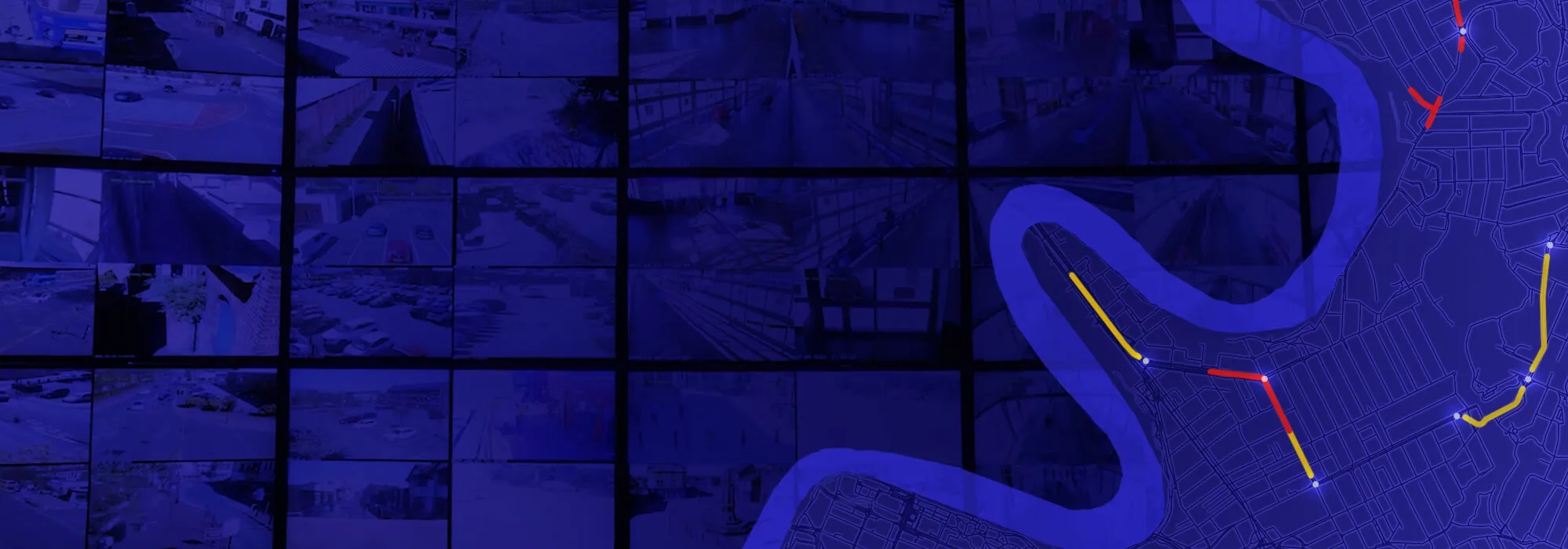
Geographic information systems have been informing smart transport strategy for more than 50 years. Explore the geospatial solutions transforming train, rail, bus and road networks.

Operations
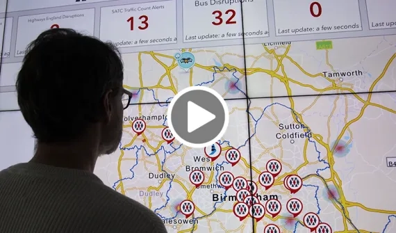
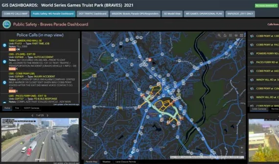
Create a real-time viewEvent management
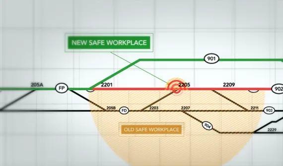
Manage congestion & safetyInfrastructure
Optimise project lifecyclesAsset management
Stay ahead of maintenanceOperations
Improve data-driven decision-making and collaboration across the transport network.


Event Management
Discover innovative workflows that are now daily practices for transport departments.
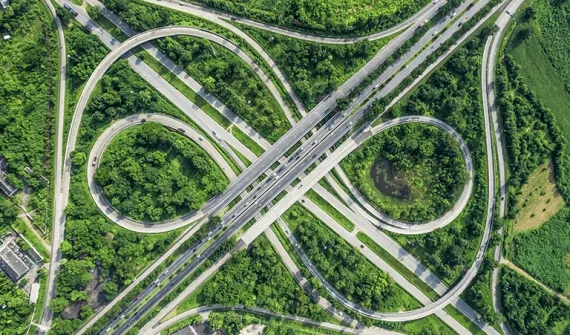

Infrastructure
Improve productivity with GIS and BIM integrations for transport infrastructure.


Asset management
Optimise the asset management lifecycle across transit networks.

Interested in the role of GIS in informing smart transport strategy? If this is an area you’re working on, let’s connect.

Betty Moinet
Esri Australia, Brisbane
Client Success Manager
By applying the principles of leadership, planning and problem solving, Betty ensures councils and businesses leverage location intelligence to meet the needs of the future.