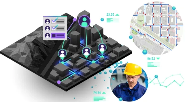
Project managers integrate real-world geographic context to enhance collaboration, real-time monitoring and inform decision-making. Discover how to ensure project delivery on time, on budget and with a focus on safety, efficiency and sustainability.


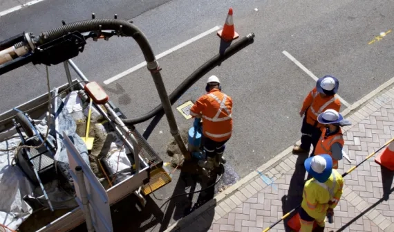
Use GIS-based apps for real-time, synchronised site insights and standardised reporting of inspections, incidents, deliveries and progress.
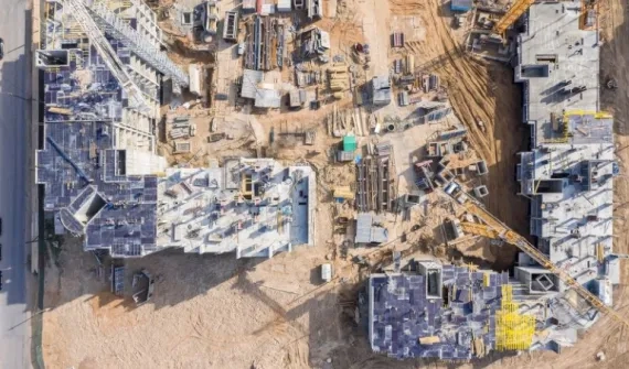
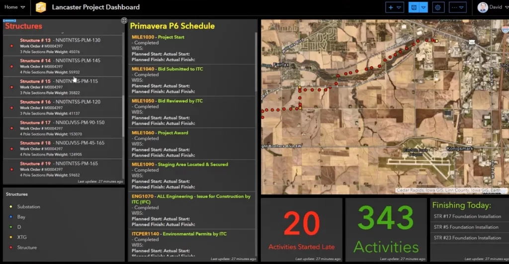
Incorporating location into scheduling workflows highlights conflicts that may otherwise go unnoticed and opportunities for streamlining work. It enables planners, designers, project managers and other stakeholders to get a better understanding of project progress and make informed decisions.
Ensuring the right information is available to the right teams at the right time is critical to successful project delivery.

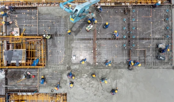
Monitor and manage safety-related activities by integrating georeferenced BIM data, reality mapping outputs, IoT sensor data and CCTV feeds for informed decision making.