
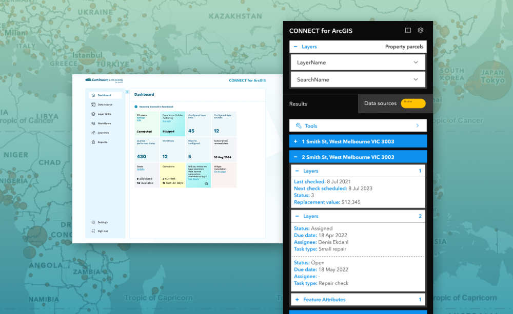
Discover Connect for ArcGIS
Connect for ArcGIS brings together the systems and data councils rely on every day, without costly integration. Watch our 60-second explainer to see how it simplifies complexity, improves access to information, and helps you work smarter.
Seamlessly connect your business systems with ArcGIS
Connect for ArcGIS is designed to extend the capabilities of your ArcGIS environment. Developed by Cartinuum, an Esri Gold Partner, it delivers seamless and trusted integration for local government business systems.
Unlike traditional integration methods, our no-code platform ensures quick time to value using pre-built connectors, avoiding duplication of data and with no custom development.
Why councils choose Connect for ArcGIS

Smarter, faster decisions
Bring spatial intelligence into everyday workflows to support clear, informed action.

Streamlined service delivery
Reduce manual effort and eliminate data duplication through seamless integration.

Time to value
Complete set-up in days, not weeks, with pre-built connectors.
With the assistance of Connect for ArcGIS, it ensures the seamless transition of all current workflows into the new system, maintaining operational continuity.
Local government organisation
Read our case study

Experience Connect for ArcGIS
Fill out the form below to claim your free trial now.
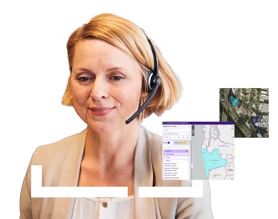
Have a question? Get in touch today, let’s make your GIS work harder for you.