You are here News & Events Blogs Esri Australia blog Esri Australia blog AllEsri techData-driven decisionsDigital transformationDisruptive innovationGIS in Education Data-driven decisions The role of 3D data in emergency response The use of three-dimensional (3D) data, combined with other spatial data may hold the key to the future of emergency calls - but are Australian authorities harnessing its full potential? Learn more Data-driven decisions How mapping technology can help catch killers Mike King outlines how investigators can use Geographic Information System (GIS) technology to combine location-based data, public information and suspect profiling data, to help catch killers. Learn more Data-driven decisions Combatting drug-related deaths with GIS US authorities are using location intelligence to report drug activity, educate the community, promote treatment options and understand the effectiveness of response activities. Learn more Data-driven decisions How mapping technology is helping solve crimes Emergency services expert Mike King shares how one US law enforcement agency used real-time GIS applications to manage the search of a large-scale crime scene in a missing persons case. Learn more Data-driven decisions GIS and data science: two sides of the same coin If data scientists analyse data to uncover insights that help improve bottom lines, then what have GIS professionals been doing for years? Learn more Digital transformation Next-generation emergency response Public safety team lead, Patrick Bell explains why getting resources out into the field is key to greater cost-savings and reducing response times. Learn more
Data-driven decisions The role of 3D data in emergency response The use of three-dimensional (3D) data, combined with other spatial data may hold the key to the future of emergency calls - but are Australian authorities harnessing its full potential? Learn more
Data-driven decisions How mapping technology can help catch killers Mike King outlines how investigators can use Geographic Information System (GIS) technology to combine location-based data, public information and suspect profiling data, to help catch killers. Learn more
Data-driven decisions Combatting drug-related deaths with GIS US authorities are using location intelligence to report drug activity, educate the community, promote treatment options and understand the effectiveness of response activities. Learn more
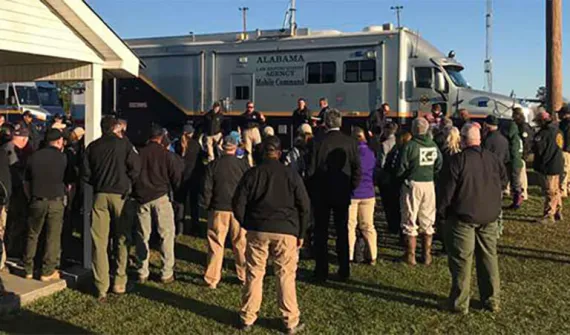
Data-driven decisions How mapping technology is helping solve crimes Emergency services expert Mike King shares how one US law enforcement agency used real-time GIS applications to manage the search of a large-scale crime scene in a missing persons case. Learn more
Data-driven decisions GIS and data science: two sides of the same coin If data scientists analyse data to uncover insights that help improve bottom lines, then what have GIS professionals been doing for years? Learn more
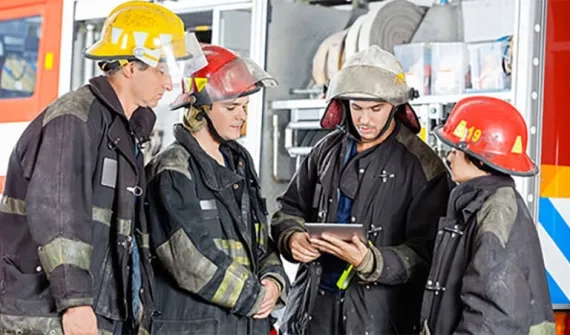
Digital transformation Next-generation emergency response Public safety team lead, Patrick Bell explains why getting resources out into the field is key to greater cost-savings and reducing response times. Learn more