ArcGIS Image for ArcGIS Online is a complete software as a service (SaaS) offering for hosting, analysing, and streaming imagery and raster collections. Save on infrastructure costs and maintenance using a secure, scalable, and performant cloud environment that quickly integrates imagery into all your workflows.


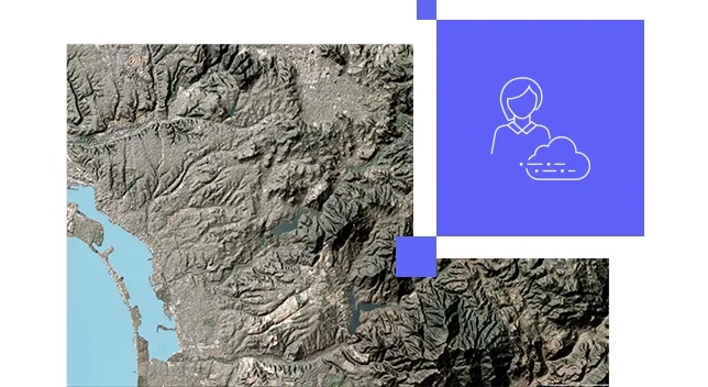
Make imagery accessible
Scale imagery and raster data so hundreds or even millions of people can interact with them at the same time. Stream imagery of large construction sites, cityscapes, and entire regions, as well as post event imagery, rectified scenes, ortho mosaics, elevation, multidimensional or categorical rasters. Grant permissions to what can be consumed.
Free yourself from infrastructure management
Host, analyse, and stream imagery and rasters without infrastructure. Meets your IT requirements including security, authentication, and privacy. ArcGIS Online provides logging and other advanced reports so you can keep up with your organisation's activities. You can also integrate your organisation-specific login.
Stay on budget as your volume of data increases
Save on infrastructure costs and maintenance using a secure, scalable, and performant cloud environment managed by Esri. The cost to store imagery is fixed, and there is no additional charge for accessing your tiled imagery, so even if the imagery goes viral your costs do not change.
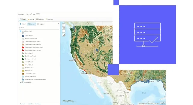
Simplify image management
Manage all your imagery and rasters with a simple four-step web experience. ArcGIS Image supports all forms of imagery and rasters, standard projections and multiple metadata sensors, and collection platforms. To ensure images are ready to use, the metadata associated with your imagery remains intact.
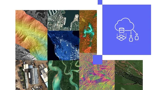
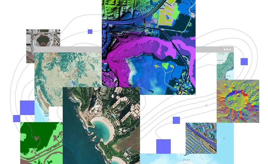
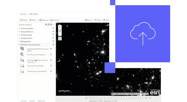
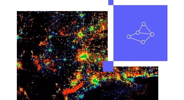
Image analysis in the cloud
Perform powerful image and raster analytic workflows at scale. Benefit from an intuitive web experience or opt for a rich ArcGIS API for Python that provides the flexibility to develop custom raster functions. Take advantage of our integration with open source AI tools and frameworks to perform pixel classification, object detection, and object classification.
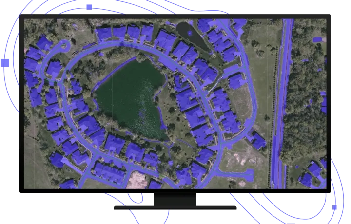
Transform imagery into GIS information
Simplify the way you work with imagery. Follow an end-to-end demonstration that shows how you can make decisions with up-to-date GIS data created from aerial, elevation and lidar data.
Ready to learn more? Contact us to speak to a product specialist.
How it works

Need ArcGIS Online?
To use ArcGIS Image in ArcGIS Online, you must have an ArcGIS Online subscription. Compatible subscriptions include Creator or GIS Professional user types (Basic, Standard, or Advanced).