You are here News & Events Blogs Esri Australia blog Esri Australia blog AllEsri techData-driven decisionsDigital transformationDisruptive innovationGIS in Education Digital transformation How small councils achieve great things with GIS Small LGAs face challenges that their larger, usually urban counterparts do not. Yet, many are achieving outstanding results with their GIS capability through intelligent application of modern web GIS. Learn more Data-driven decisions GIS and data science: two sides of the same coin If data scientists analyse data to uncover insights that help improve bottom lines, then what have GIS professionals been doing for years? Learn more Digital transformation The modern land parcel solution future-proofing South Australia's cadastre South Australia's Land Boundaries Group shares how an out-of-the-box technology solution has boosted their land parcel management productivity by up to 80%. Learn more Data-driven decisions Students use GIS to track cattle movements A new program has launched in Australia where students use GIS technology to track herd movement and work with emerging agri-tech to bridge the digital divide. Learn more Data-driven decisions Cleaning the Gulf of Mexico using GIS The clean-up efforts following the Deepwater Horizon oil spill is an example of how GIS technology can be used to assist in disaster response. Learn more Disruptive innovation Enterprise GIS data meets Augmented Reality Augmented Reality (AR) adds even more detailed visualisation to maps and data. Find out how to bring your Enterprise GIS data into AR apps to supplement real-world views. Learn more
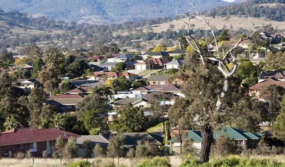
Digital transformation How small councils achieve great things with GIS Small LGAs face challenges that their larger, usually urban counterparts do not. Yet, many are achieving outstanding results with their GIS capability through intelligent application of modern web GIS. Learn more
Data-driven decisions GIS and data science: two sides of the same coin If data scientists analyse data to uncover insights that help improve bottom lines, then what have GIS professionals been doing for years? Learn more
Digital transformation The modern land parcel solution future-proofing South Australia's cadastre South Australia's Land Boundaries Group shares how an out-of-the-box technology solution has boosted their land parcel management productivity by up to 80%. Learn more
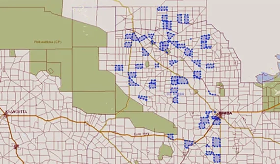
Data-driven decisions Students use GIS to track cattle movements A new program has launched in Australia where students use GIS technology to track herd movement and work with emerging agri-tech to bridge the digital divide. Learn more
Data-driven decisions Cleaning the Gulf of Mexico using GIS The clean-up efforts following the Deepwater Horizon oil spill is an example of how GIS technology can be used to assist in disaster response. Learn more
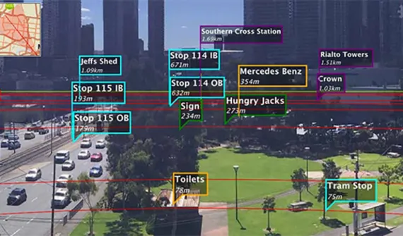
Disruptive innovation Enterprise GIS data meets Augmented Reality Augmented Reality (AR) adds even more detailed visualisation to maps and data. Find out how to bring your Enterprise GIS data into AR apps to supplement real-world views. Learn more