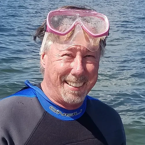
Mark Finkbeiner
Physical Scientist, Office for Coastal Management
National Oceanic and Atmospheric Administration
With a background in remote sensing, photogrammetry, GIS and ecological classification, Mark has led numerous projects across the US in his 25 years at NOAA. In his current role as Physical Scientist with NOAA's Office for Coastal Management, Mark has been leading the Ocean Data and Tools project, conducting benthic mapping and monitoring seagrass, as well as maintaining the Coastal and Marine Ecological Classification Standard and Marine Cadastre program.
Mark serves on a variety of seagrass working groups and is part of the leadership team of the Coastal and Estuarine Research Federation’s SAV Monitoring and Mapping Community of Practice. Prior to joining NOAA in 1996, Mark worked in remote sensing for land cover mapping, wetland delineation, and hazardous waste site assessments at EPA's Environmental Monitoring Systems Lab in Las Vegas.

