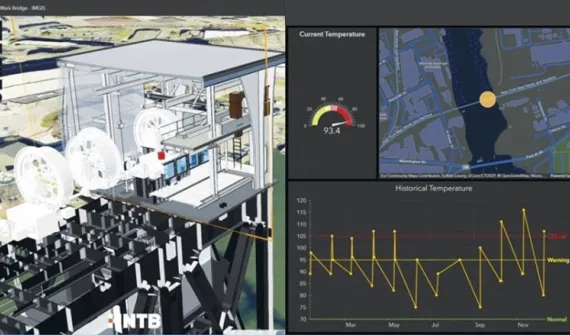
Architects, engineers and designers combine CAD and BIM workflows with location intelligence to inform design and civil engineering decisions. Explore data integration helps construction project teams develop better solutions.


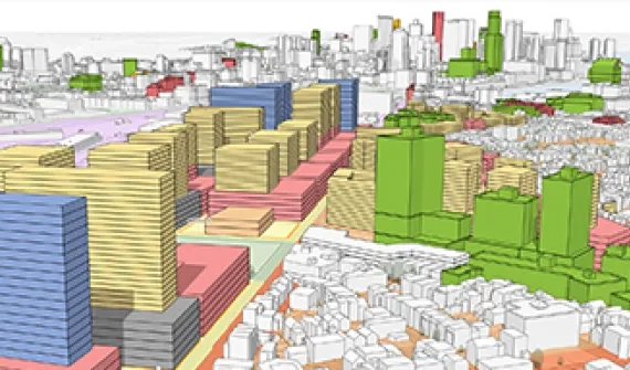
Add location information to design plans for context. Integrate data from multiple workflows for a comprehensive, organised view and enable informed decision making.

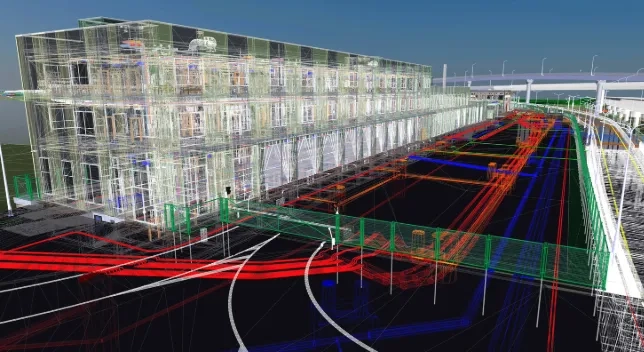
Access BIM and CAD content — DWG, DXF and DGN files and RVT and IFC files — from online cloud storage repositories with a BIM cloud connection and use that content in ArcGIS Pro. Enable collaboration with other teams working with the same data outside of ArcGIS.

Enhance design accuracy and efficiency by incorporating geographic context into CAD and BIM workflows.