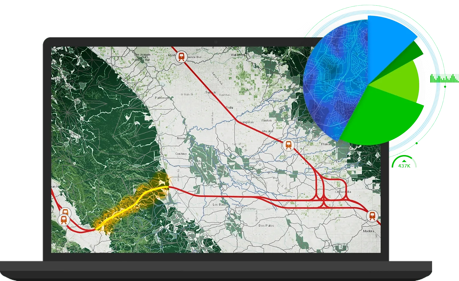
ArcGIS GeoPlanner is web-based planning tool that empowers you to rapidly design city, regional, and landscape-scale scenarios. Run spatial analysis on the fly, compare scenarios, and share data-informed plans using real-time dashboards and key performance indicators so you and others understand quality, performance, and impact.
Planning driven by impact and KPIs
ArcGIS GeoPlanner gives you a way to measure the impact of your design using key performance indicators (KPIs). Run spatial analysis on the fly, compare scenarios, and share data-informed plans using real-time dashboards.
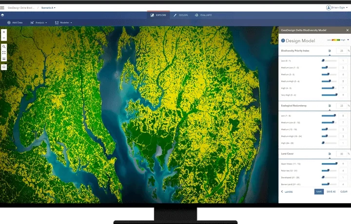
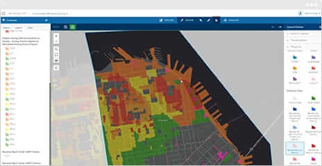
Inform your design with powerful analytics
Scenario planning for environmental systems requires thorough analysis and rigorous testing. Use specific tools such as overlay analysis to simplify the landscape planning process and deliver clear analytics to help identify critical issues for existing and proposed designs.
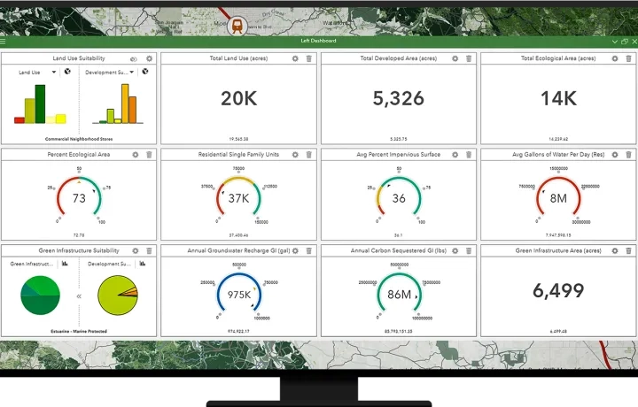
Measure impact as you plan
Use built-in metrics and dashboards to immediately measure scenario impact. Access and incorporate global, authoritative data from ArcGIS for contextual analysis.
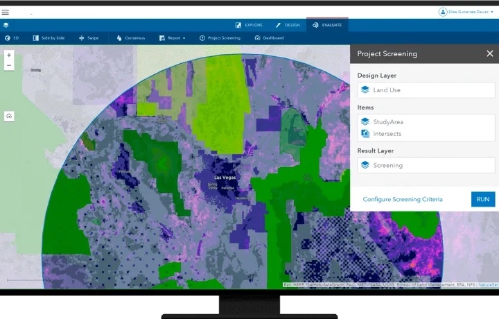
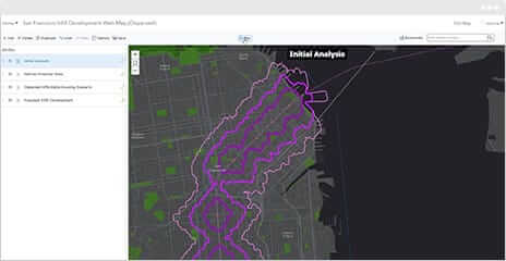
Iterative scenario planning
Showcase results that are data-informed, visually impactful, and interactive in 2D and 3D. Identify opportunities or constraints within a design to help maximise performance and mitigate potential constraints.
Ready to learn more? Contact us to speak to a product specialist.
Improve your process, one step at a time
Planning is an iterative, collaborative process. Here’s how GeoPlanner for ArcGIS helps you along the way.
1. Design
Create scenarios from your data or sketch new designs. Collaborate with a team or design on your own.

2. Test
Assess and compare impact in 2D or 3D with real-time dashboards, key performance indicators, and models.
3. Share
Present data-informed results to executives, officials, and your community.