You are here News & Events Blogs Esri Australia blog Esri Australia blog AllEsri techData-driven decisionsDigital transformationDisruptive innovationGIS in Education Disruptive innovation Driving through roadblocks with GIS innovation Asset managers are using GIS technology to share data and collaborate on public works, leading to less disruption and reduced costs. Learn more Data-driven decisions Satellite imagery and the search for MH370 debris When the Malaysian Airlines flight MH370 was determined by authorities to have crashed into the ocean the same question was asked repeatedly: could satellites help find the crash site? Learn more Digital transformation How small councils achieve great things with GIS Small LGAs face challenges that their larger, usually urban counterparts do not. Yet, many are achieving outstanding results with their GIS capability through intelligent application of modern web GIS. Learn more Data-driven decisions Cleaning the Gulf of Mexico using GIS The clean-up efforts following the Deepwater Horizon oil spill is an example of how GIS technology can be used to assist in disaster response. Learn more Data-driven decisions Improving public safety with GIS-enabled emergency response GIS technology is providing predictive capabilities for handling natural disaster response and recovery. Learn how the Queensland Fire and Emergency Service uses GIS to improve its coordination of emergency response across the state. Learn more Data-driven decisions Find out where Australia imports its food from Does Australia get more meat from New Zealand or the Netherlands? This interactive map shows you where we import our food from, so you can make more informed decisions relating to what ends up on your plate. Learn more
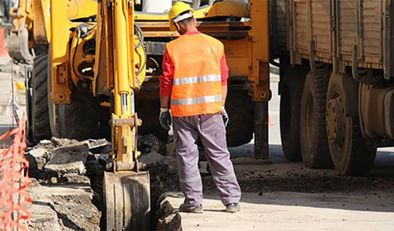
Disruptive innovation Driving through roadblocks with GIS innovation Asset managers are using GIS technology to share data and collaborate on public works, leading to less disruption and reduced costs. Learn more
Data-driven decisions Satellite imagery and the search for MH370 debris When the Malaysian Airlines flight MH370 was determined by authorities to have crashed into the ocean the same question was asked repeatedly: could satellites help find the crash site? Learn more
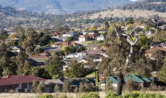
Digital transformation How small councils achieve great things with GIS Small LGAs face challenges that their larger, usually urban counterparts do not. Yet, many are achieving outstanding results with their GIS capability through intelligent application of modern web GIS. Learn more
Data-driven decisions Cleaning the Gulf of Mexico using GIS The clean-up efforts following the Deepwater Horizon oil spill is an example of how GIS technology can be used to assist in disaster response. Learn more
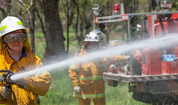
Data-driven decisions Improving public safety with GIS-enabled emergency response GIS technology is providing predictive capabilities for handling natural disaster response and recovery. Learn how the Queensland Fire and Emergency Service uses GIS to improve its coordination of emergency response across the state. Learn more
Data-driven decisions Find out where Australia imports its food from Does Australia get more meat from New Zealand or the Netherlands? This interactive map shows you where we import our food from, so you can make more informed decisions relating to what ends up on your plate. Learn more