ArcGIS Navigator is a professional mobile navigation app for Android and iOS that uses GIS software to route your field workforce. With hundreds of global maps, or your own custom map, you can define travel modes, route on your own roads, and search your assets - online or offline.
Complex navigation made simple

Work offline
Navigate even when disconnected

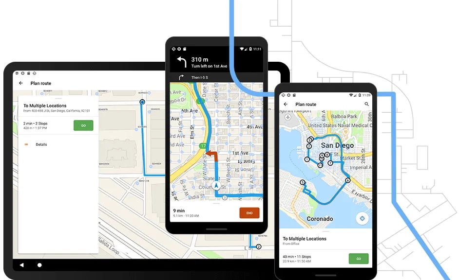
Shared routes
Easily make and access custom routes

GIS data
Search your assets, route on your roads

Boost efficiency
Drive less, be reliable and on time
Ready to learn more? Contact us to speak to a product specialist.
How ArcGIS Navigator works

Better together
Use ArcGIS Navigator in combination with other focused ArcGIS apps to maximise efficiency in your field activities. Navigator also integrates directly with other business applications you already use.

ArcGIS Field Maps
Send any point location to ArcGIS Navigator. Once in Navigator, return to ArcGIS Field Maps to resume data collection activities. Work seamlessly from one app to the other.
ArcGIS Dashboards
Visualise the data captured with Field Maps in real-time dashboards to support more informed decision-making.
ArcGIS Workforce
Coordinate field activities. Select a task from your Workforce task list. Use Field Maps to complete the required work. Then, easily return to Workforce when you are done.
ArcGIS Survey123
Pair Field Maps with this robust form-centric app to complete more complex field data collection workflows.