Get insights into successful mineral exploration


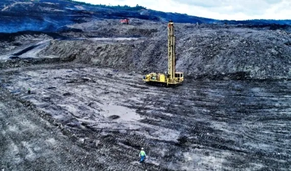
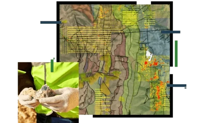
Initial prospecting observations are used to create a strategic exploration program. Permits, environmental regulations, geological and economic viability should underpin your strategic land-use plan.
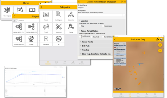
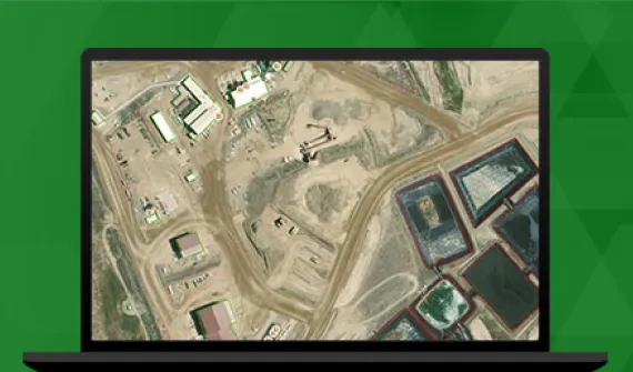
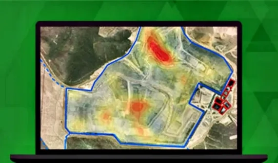
A successful exploration effort requires using the right tools for field data collection and integration into a shared platform.

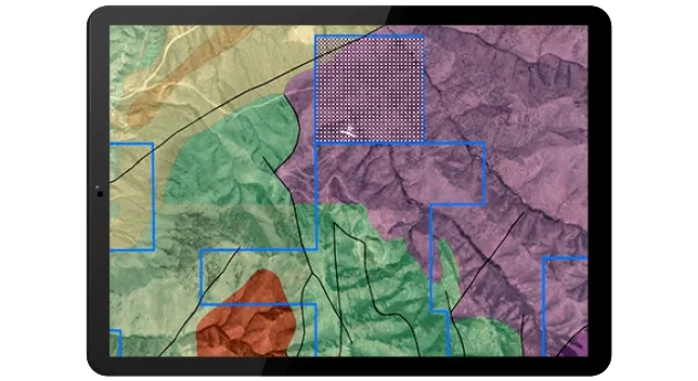
Map and analyse your assets to visualise, exchange, and transmit field findings in real-time.
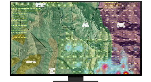
A well-architected geospatial strategy enables data management to be viewed and accessed seamlessly and transparently, allowing collaboration within regional and global cross-functional teams throughout the mining life cycle.