The new collaboration accelerating post-event community recovery
The new collaboration accelerating post-event community recovery
These are extraordinary times, where increased rates of extreme weather events have served as a catalyst for change. Unlikely allies, united by a common goal, are now working together to innovate and share the burden of restoring communities affected by natural disasters.
Today, the global insurance community is joining forces, leveraging near-real-time high-resolution imagery to accelerate damage assessment and response activities, following major events.
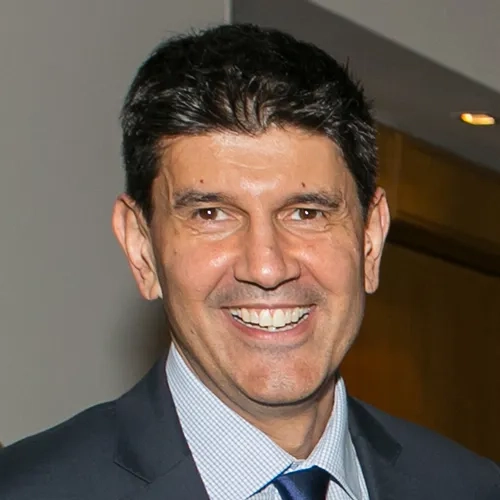
Join us and presenter Francisco Urbina as we travel to ‘ground zero’ to learn how insurance companies are collaborating with each other and first responders to democratise access to at-scale imagery during extreme weather events.
Webinar recording
Highlights
- Hear how Munich RE have completely transformed their approach to damage assessment
- Explore the workflows making a difference at Munich RE, and how these can be applied to your enterprise ArcGIS
- Learn how to leverage high-resolution imagery direct into ArcGIS APIs
- Understand how Vexcel data is supporting a geospatial insurance consortium to bolster first responder efforts in the aftermath of extreme events
Speaker
Francisco Urbina
Vexcel Data Program
Manager, Business Development Australia and NZ
Spatial industry thought-leader

