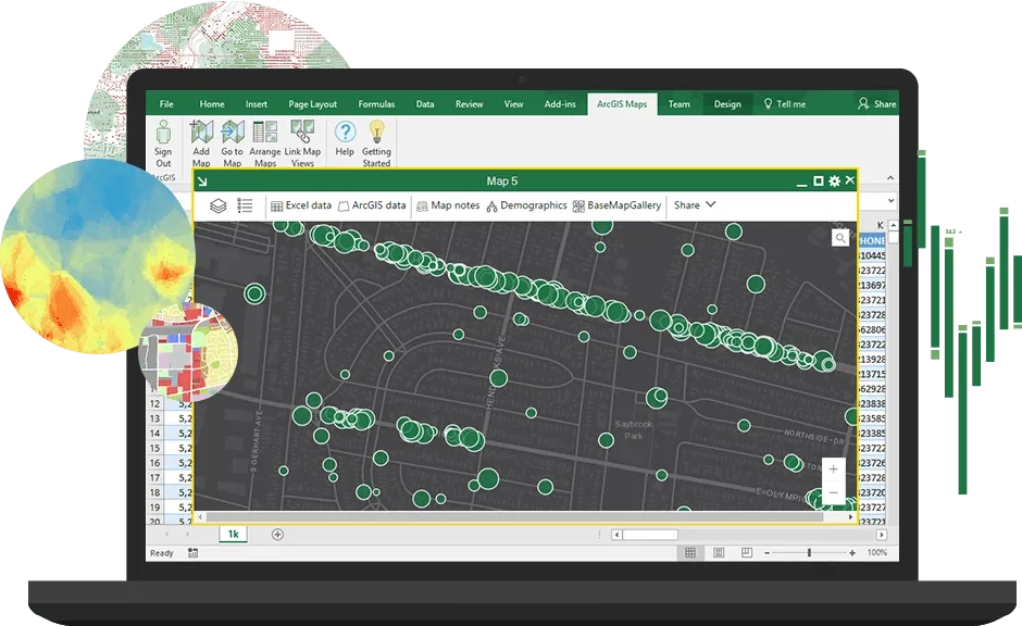
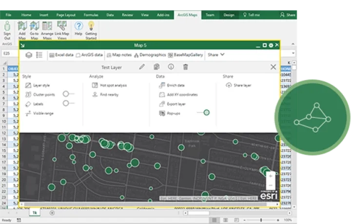
What can you do with ArcGIS for Excel?
ArcGIS for Excel extends Excel spreadsheet rows with geographic information, enabling everyone in your organisation to create, edit and analyse geographic information directly in Excel
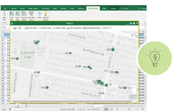
Add location intelligence
Enhance content with location
Geoenrich Excel spreadsheet rows with your organization’s data from ArcGIS or public demographic, lifestyle, and business datasets.
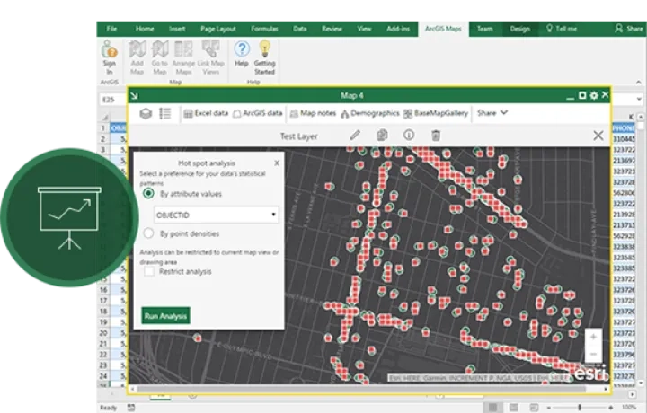
Analyse geographic information
Use ArcGIS for Excel formulas and analytic tools to build routes, measure distances and areas, and filter or summarize data by spatial dimensions.
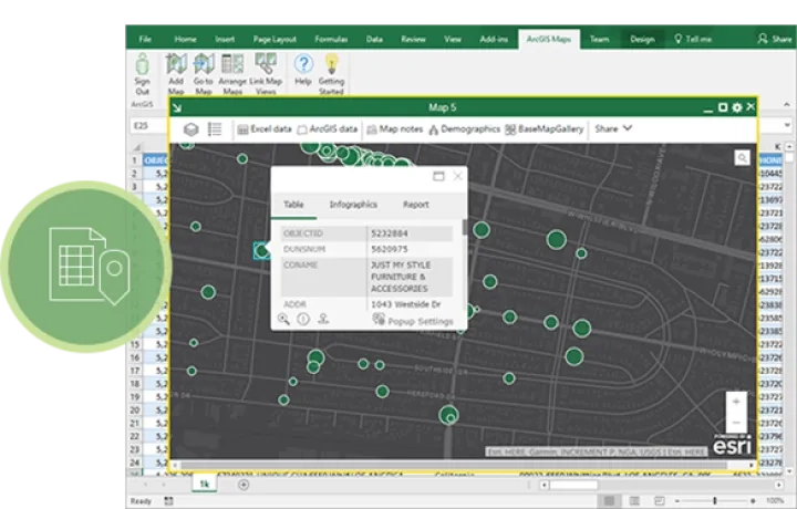
Access and edit data
View and edit geographic content and data from ArcGIS in Excel. Edit existing records and add or remove columns and rows from hosted and related tables
Share geographic information
Publish ArcGIS feature layers from Excel or export maps in multiple formats to securely share content within your organisation