Martin Rutherford
Director of Maritime Geospatial Intelligence
Department of Defence, Sydney
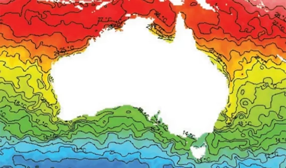
A passionate advocate for the science of GIS, Martin Rutherford's vision for what the technology should do as opposed to what it could do has seen ArcGIS capabilities supporting the areas of oceanography and meteorology evolve to what they are today.
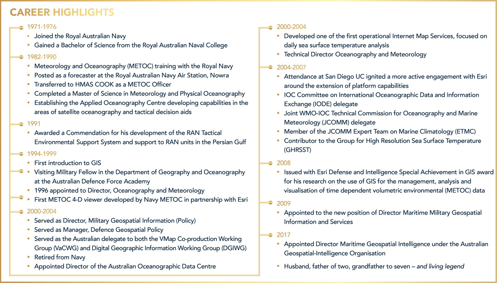
Now approaching his fifth decade working for the Australian Defence Force – and presently serving as the Department of Defence's Director of Maritime Geospatial Intelligence – Martin boasts one of the most distinguished careers within the broader geospatial community, having also served as the Director of the Australian Oceanographic Data Centre; Director of Military Geospatial Information (Policy), and Director of Oceanography and Meteorology.
Martin's incredible determination to have ArcGIS reach its potential has seen him work with the ArcGIS product team in Redlands, California, to add new capabilities to the platform, including introducing 'time' as a dimension.
Martin's contribution to the global spatial community has been acknowledged with a 2019 GIS Hall of Fame Lifetime Achievement Award; and previously an Esri Special Achievement in GIS (SAG) Award.
Across his career, Martin has been a frequent contributor to Esri publications – which included authoring a white paper for a new toolbox - highlighting the commercial opportunities that would be available through the inclusion of METOC visualisation tools and support for multi-dimensional data in core.
Martin has presented at numerous industry events, given his time to a myriad of industry organisations and working groups. He has spent time in Redlands working with Esri's developers and 'super-users' in the Holistic Testing Lab and continues to inform Esri of the priorities and needs of the Australian Defence Force.