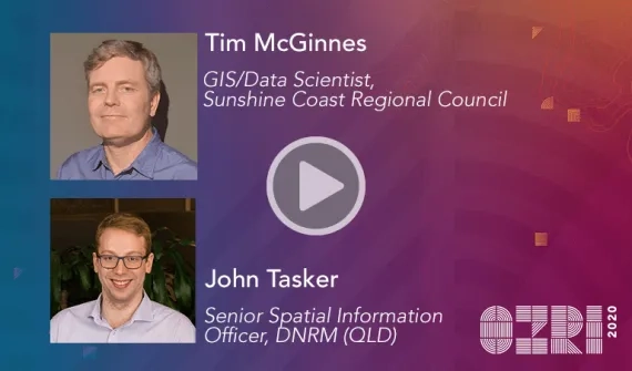
John Tasker
Senior Spatial Information Officer
Department of Natural Resources, Mines and Energy (Queensland), Brisbane
John is responsible for developing innovative solutions to manage and derive value from Queensland’s extensive archive of drone, aerial and satellite imagery. He’s been closely involved with some of the largest 3D photogrammetry projects in Queensland, along with efforts to derive 3D datasets from historical aerial photography. A firm believer in collaboration, John has a passion for using geospatial technology and data to actively engage with diverse stakeholders to promote the opportunities of emerging imagery datasets to inform development and management activities.

