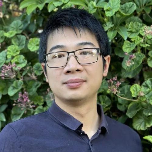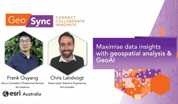
Frank Ouyang
Consultant, Professional Services
Esri Australia, Adelaide
An expert in remote sensing, photogrammetry and 3D analysis, Frank has extensive experience with artificial intelligence (AI), imagery and deep learning technologies.
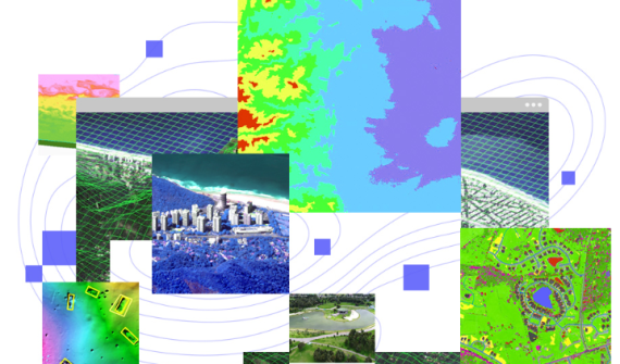
He trains and deploys advanced machine learning models for image analysis to meet the demand for innovative solutions using deep learning to extract insights from imagery.
To develop more precise imagery analysis solutions that reveal hidden insights, he integrates GeoAI models with traditional computer vision techniques and general GIS tools.
His published papers have been on the use of UAV and ground-based imagery to detect canopy decline and structural changes after the application of canopy management practices.


