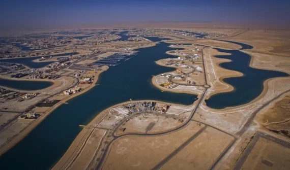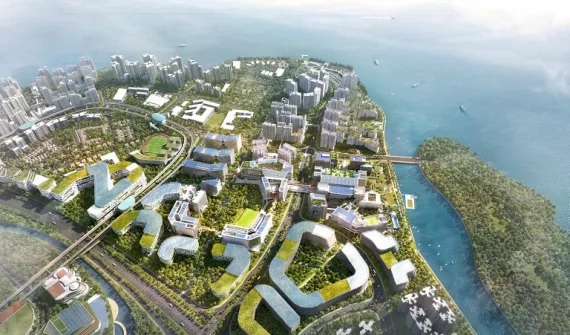
Integrate GIS into urban planning strategies to prioritise projects and create sustainable, equitable development for communities. Embrace geodesign to deliver the right balance between the built and natural environments.

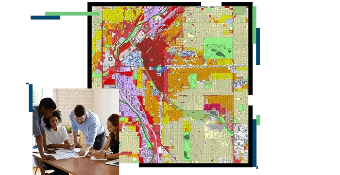
GIS-based smart community information systems allow governments to model the impacts of proposed development, adjust to shifting demographics and lifestyles and account for climate change and economic shifts.
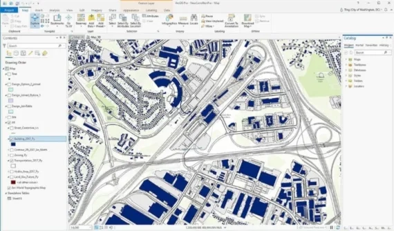
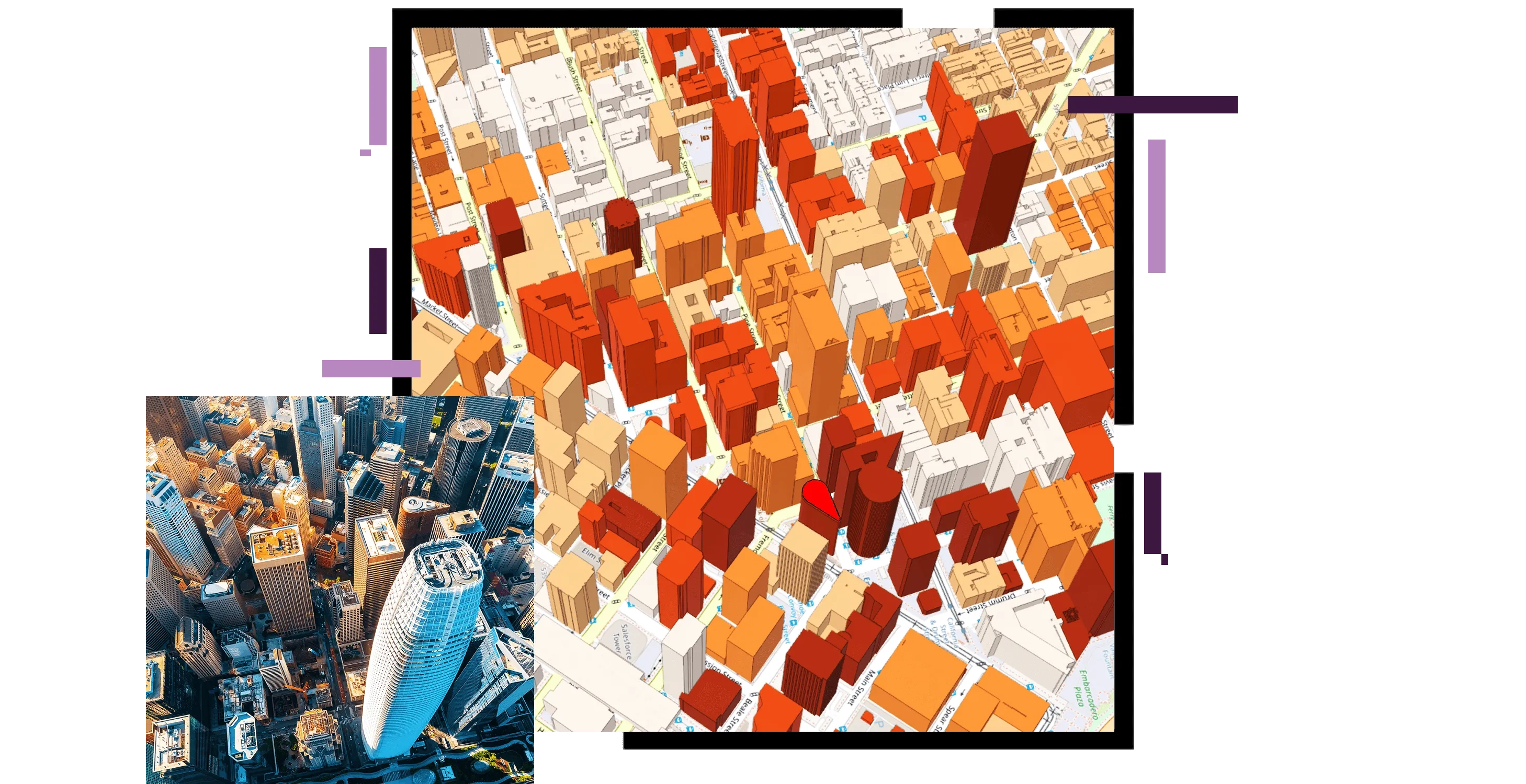
Create intelligent, interactive renderings of your projects in 3D and deliver realistic simulations of projects and environments. Integrate critical building data from multiple silos in disparate formats into a single platform to enable stakeholders to see how assets fit and interact within their surroundings.
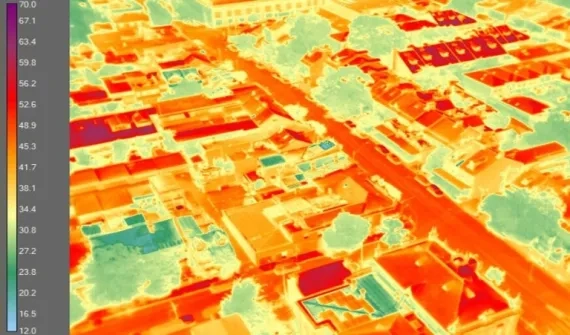
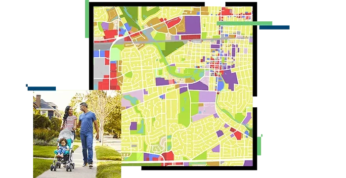
Elevate how urban planners leverage analytics to uncover community issues, monitor real-time incidents and identify trends across their growing cities.

Future-proof your city with collaborative data-sharing workflows for informed decision-making.