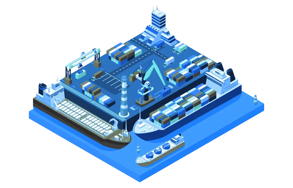
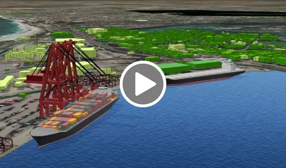
See inside Fremantle Ports' state-of-the-art digital 3D replica of the port's inner harbour. The application integrates 3D static models, near real-time camera feeds, bathymetric and AIS data to communicate vital information to stakeholders across the business.