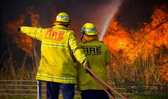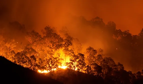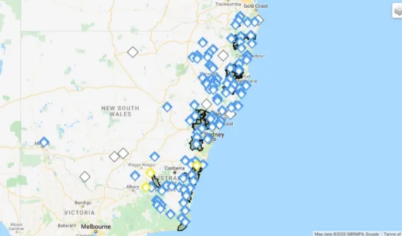
GIS technology has emerged as a powerful tool to help Australia's leaders and fire authorities prepare, respond and recover from bushfires. Globally, the technology is used to manage and respond to the wildfires ravaging parts of Canada and the U.S.
GIS technology has emerged as a powerful tool to help Australia's leaders and fire authorities prepare, respond and recover from bushfires. Globally, the technology is used to manage and respond to the wildfires ravaging parts of Canada and the U.S.