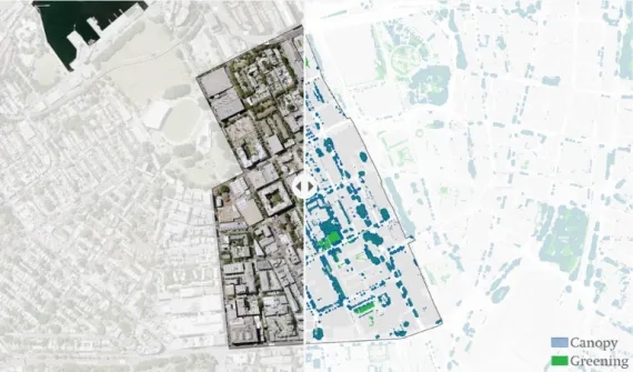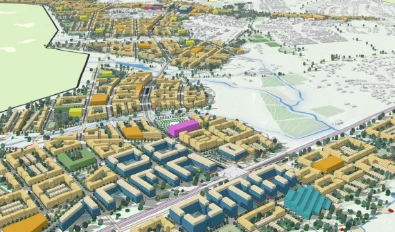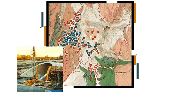
GIS is a powerful technology that organises, analyses, manages, and visualises geospatial data for due diligence, site assessment and remediation, environmental restoration, and ecological modelling throughout the project lifecycle.


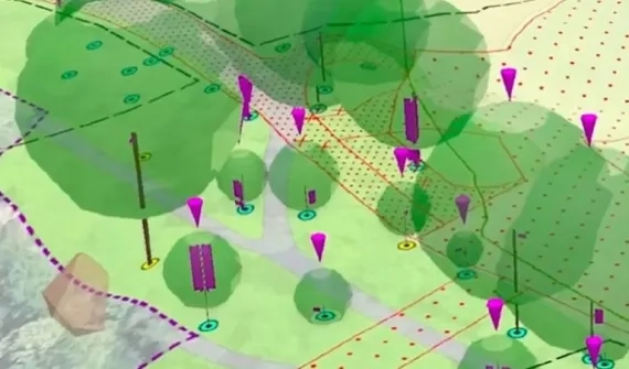
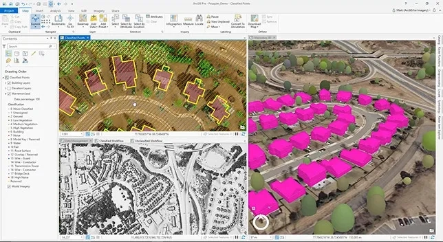
Digitalise field data collection and workflows for visual impact assessments on communities and the environment.
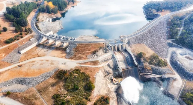
Digitally delivering data-driven Environmental Impact Statement outcomes for planning approval and public engagement.
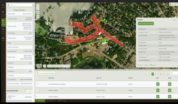
Boost efficiency and compliance by embracing digital workflows in the approval process.

Utilise GIS-based apps to digitise and modernise reporting and project delivery, fostering collaboration in real-time with stakeholders.