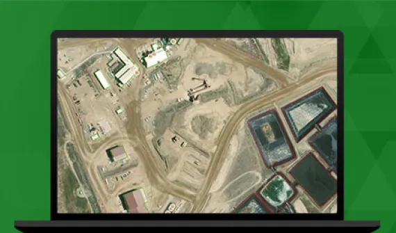
Make faster decisions with greater confidence by integrating field data — collected manually or by IoT sensors — to quicken the pace of your operation.


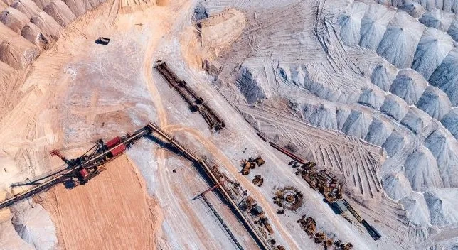
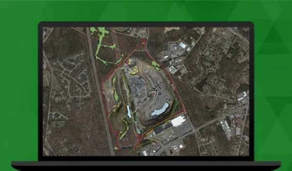
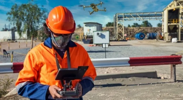
Mining companies are routinely — and easily — capturing highly-accurate geological, environmental, cultural heritage, human movement, and asset data with ArcGIS. In-field, app-based data collection reduces the risk of human error, data leakage, loss, and/or gaps, while drone and remote sensing technologies are being used to amplify operational efficiencies and reduce data collection costs.
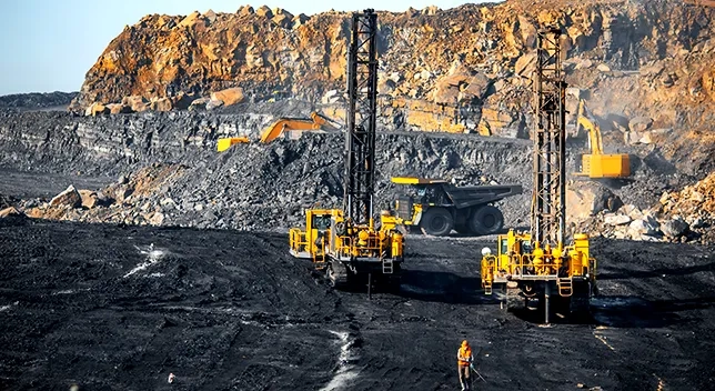
Effectively planning the blast for any material starts with knowing conditions in the field. Using ArcGIS Field Maps, crews can accurately log and place drill hole locations and collect pre- and post-blast information. This data can then be linked back in real time to the mine planning engineer.
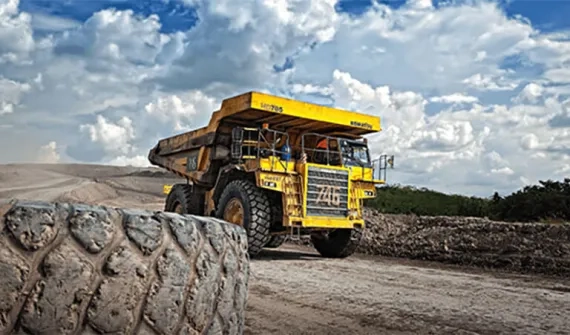
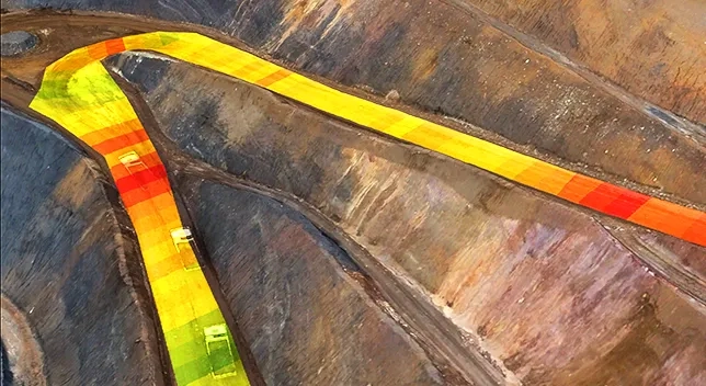
Through real-time monitoring, ArcGIS can effectively tell operators where to dispatch crews and resources to maintain optimal haul road conditions, resulting in greater ROI in material movement and reduced equipment repair and downtime.
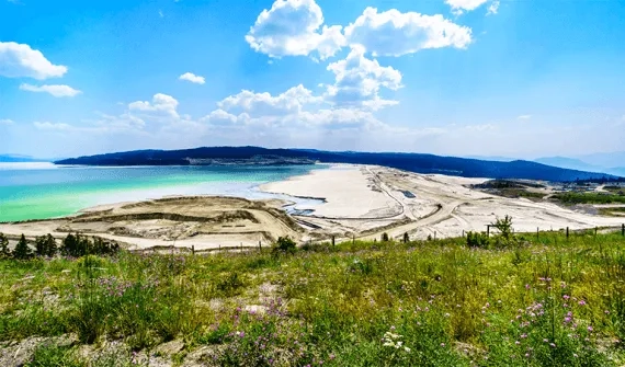
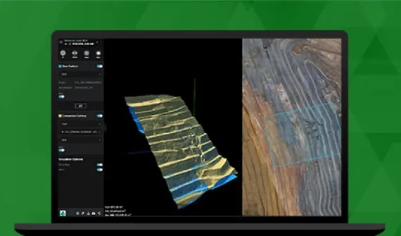
Tailings storage facility (TSF) management is a key aspect of a mine's daily workflow. With ArcGIS, you can view all aspects of TSF health through the consumption and mash-up of key performance indicator (KPI) data streams, including imagery, sensor, and field inspection data.