Access, organise and share your work on any device, anywhere, anytime. Use the resource below for guidance on managing your data and creating maps you can share across your organisation.
Manage your content
Implement best-practice content management techniques to manage your content in ArcGIS Enterprise.
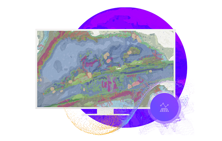
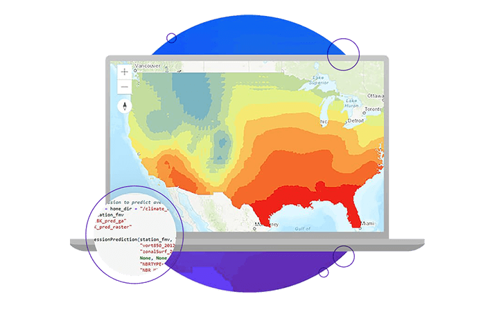
Create maps, analyse data
Unlock the power of data-driven maps with analytics tools available inside your portal
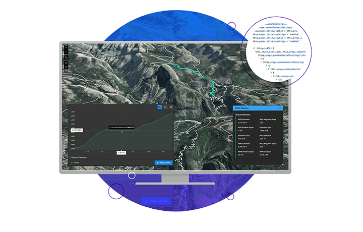
Share your work
Publish your content and work collaboratively with others - inside and outside your organisation.
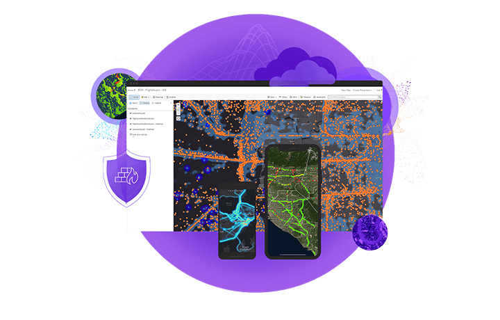
Extend with apps
Extend and share powerful location intelligence from mobile devices and dashboards.
Connect with our team for assistance on how to access and use your data and content.
FAQs
- How do short and long transactions relate to ArcGIS Enterprise?
Short transactions are edit operations that are completed in a matter of seconds. Examples would include quick updates to attribute data or capturing simple spatial data. Although short transactions work well when critical applications require immediate access to a consistent view of the data, they are not well suited to some editing tasks required when updating geographic data.
Long transactions are extended editing operations, which may involve many short transactions and a number of database editors. Examples may include capturing land parcels with specific coordinates that require different users to check and update certain attributes throughout the process.
- How can we monitor our Enterprise deployment for optimisation opportunities?
ArcGIS Server Statistics is a simple but powerful tool to monitor various performance metrics at the site, folder and service level. Analysis of server statistics would allow you to make informed decisions about server and service configuration rather than making ad-hoc changes and hoping for the best.
Server statistics analysis resources are available online, including how to run advanced monitoring using the ArcGIS REST API.
- What is the difference between 'registering' and 'federating'?
Registering configures ArcGIS Enterprise to use referenced data stored in a User Managed Data Store; it establishes the information base from which your WebGIS services and products will be created.
Federating an ArcGIS Server site with your portal integrates your Enterprise Portal's security and sharing models with one or more ArcGIS Server sites; the security and sharing model that creators and consumers will traverse when accessing your WebGIS services and products.
- Is there a way to publish imagery data if I don’t have an ArcGIS Image Server?
You can publish single imagery files as raster datasets using ArcGIS Server only but you won't be able to publish from a mosaic dataset. You can however post the data as a Map Image layer.
In ArcGIS Pro, you can share selected raster dataset as web imagery layers to ArcGIS Enterprise.
ArcGIS Image Server is required when publishing a map document containing a mosaic dataset or raster layer. Without ArcGIS Image Server, the services created from these documents will not contain the mosaic dataset or layer.
- Is distributed collaboration an example of an Integrated Geospatial Infrastructure (IGI)?
Distributed collaboration is a core component of an Integrated Geospatial Infrastructure. It allows map data from authoritative sources to be centrally collected and distributed.
- How is collaboration traffic secured?
Collaboration traffic is secured using SSL. If both environments are using CA Signed certificates, that will create a trusted relationship. Check out this guide for more steps to establish trust across collaboration traffic.
- Does ArcGIS Enterprise support offline viewing and editing workflows similar to ArcGIS Online?
You can enable offline viewing and editing of feature layers in your ArcGIS Enterprise portal. To take feature data offline from an ArcGIS Enterprise portal, you must enable sync on the feature layer and add the sync-enabled feature layer (or layers) to a map allowed for offline use.
How you enable sync on a feature layer depends on whether you use a hosted feature layer or an ArcGIS Server feature layer (feature service).
- Can I perform analysis in Portal for ArcGIS?
Yes, absolutely. To decide the type of analysis being done, first confirm what you are trying to work out. For example, if you want to find locations, geocoding could be used. Or you might want to find patterns in your information - calculate density, find clusters, and a host of other tools can help achieve this.