
As an ArcGIS Server administrator or a publisher in your organisation, you can register data sources for ArcGIS Server web services, to store map and image caches, and for GeoAnalytics and raster analysis output storage.
Select a registration pattern from the options below, then follow the next steps to manage and maintain your enterprise geodatabase.
Register an enterprise geodatabase


Manage and maintain an enterprise geodatabase
Every geodatabase requires configuration and maintenance. The resources below summarise management tasks based on the type of geodatabase you use.
Find the prerequisites and instructions for creating an Enterprise geodatabase on the database of your choice.
Create a geodatabase in SQL Server
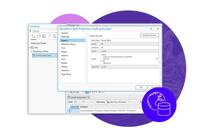
Access the steps required to connect from ArcGIS to a database of your choice, including a database that contains a geodatabase.
Connect to Microsoft SQL Server from ArcGIS
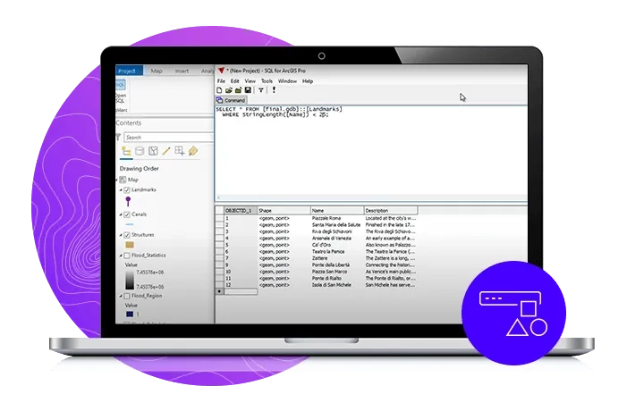
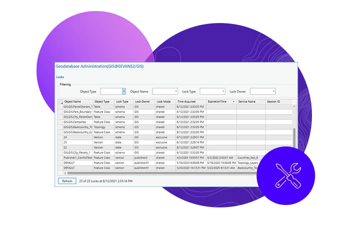
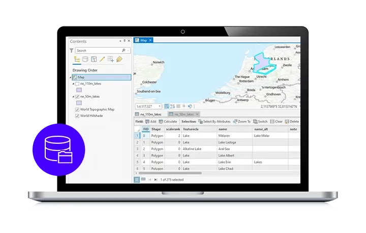
Access a comprehensive list of geodatabase administrator tasks to manage query performance in your enterprise geodatabase.
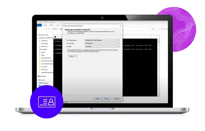
Keep your enterprise geodatabase licences up to date and avoid downtime. Watch a step-by-step guide on how to complete this process using a simple geoprocessing tool.
Data workflows in enterprise geodatabase
Every geodatabase requires configuration and mainteance. The resources below summarise management tasks based on the type of geodatabase you use.
Three simple steps to creating empty datasets directly from the geodatabase.
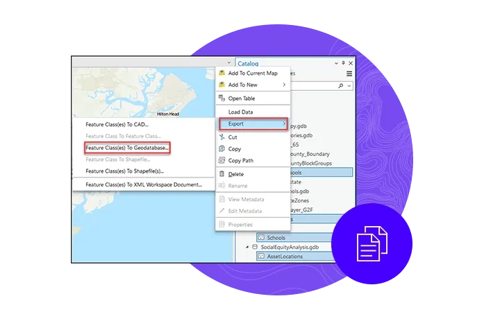
A guide to copying feature datasets, feature classes, and tables to a geodatabase.
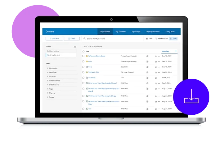
Add datasets to a geodatabase by importing them from other locations.
Grant user privileges to allow other database members to view or modify the contents of any data in a database or enterprise geodatabase.
Permit and revoke dataset privileges