
What is GIS technology?
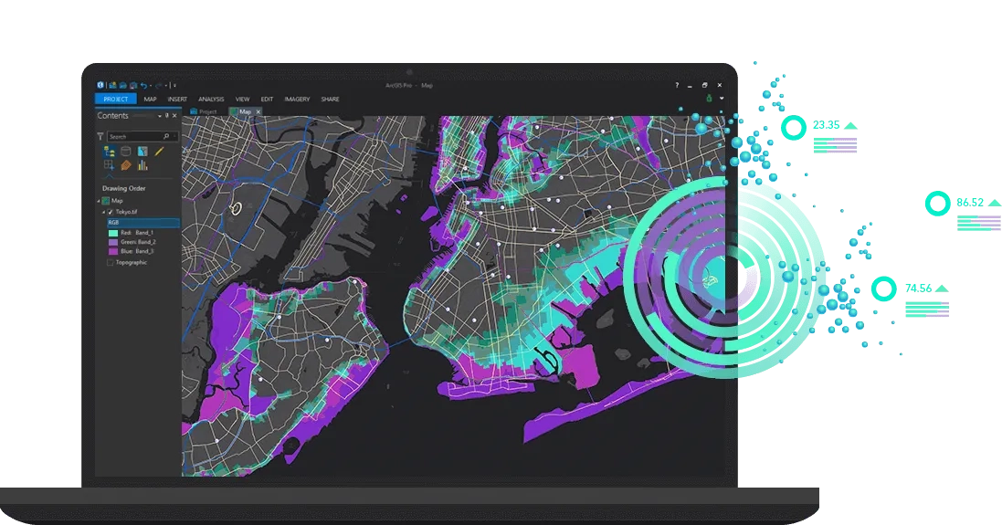
Geographic Information System (GIS) technology is the application of location-based analytics – using the science of geographical intelligence to analyse multiple, complex datasets layered over defined territories, revealing hidden trends and patterns.
Learn more about Esri technology.


