The Australian GIS Hall of Fame Awards recognise and honour the individuals and organisations that have made significant contributions to the development and application of the science of GIS - and to the growth of the broader Australian spatial community.
Each Award winner has a strong track record of contributing to the advancement of GIS - demonstrating innovative and creative thinking, vision, inspiring leadership, perseverance and most importantly community mindedness.
2019 Award winners
GIS Pioneer Award
Geoscience Australia
A multi-award-winning agency, Geoscience Australia has shown a willingness to lead only from the front – exercising a grade of tenacity shown by history’s most notable explorers - to 'map the gaps'.
Since its establishment in 1910, they have played a critical role in our nation's prosperity and safety.
From the first national topographic mapping program that was driven by the need to defend Australia's people and develop its regional areas; to the systematic mapping that has helped us understand our resource endowments and drive new discoveries that have underpinned the success of our economy.
Geoscience Australia sits as a true global ambassador for inventive spatial thinking – and with their most recent undertakings – involving Earth observations and the mapping of the ocean floor – they have yet again shifted the bar higher for applied GIS.
GIS Pioneer Award
Department of Natural Resources, Mines and Energy (DNRME)
Queensland's Department of Natural Resources, Mines and Energy (DNRME) is a global leader for entrepreneurial government, exercising a level of creative thinking usually only associated with start-ups and disruptors.
Forward-thinking open data applications such as the Queensland Globe, QSpatial and GeoResGlobe, have set the benchmark for spatial enablement of both government and industry; offering significant benefits for all.
DNRME shares data and works collaboratively with multiple agencies as well as the public to deliver policies, programs and services that support industry while reflecting the needs of the broader community.
As a result, the Department has elevated the understanding of the importance of GIS technology within government to new heights.
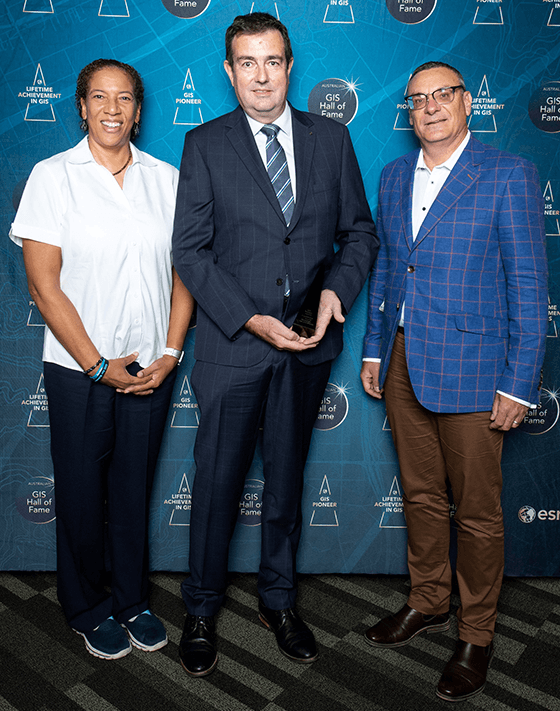
Lifetime Achievement in GIS Award
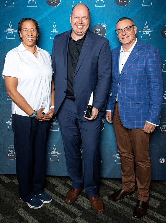
Martin Rutherford, Department of Defence
A passionate advocate for the science of GIS, Martin Rutherford's vision for what the technology should do as opposed to what it could do has seen ArcGIS capabilities supporting the areas of oceanography and meteorology evolve to what they are today.
Now approaching his fifth decade working for the Australian Defence Force – and presently serving as the Department of Defence's Director of Maritime Geospatial Intelligence – Mr Rutherford boasts one of the most distinguished careers within the broader geospatial community, having also served as the Director of the Australian Oceanographic Data Centre; Director of Military Geospatial Information (Policy), and Director of Oceanography and Meteorology.
Mr Rutherford's incredible determination to have ArcGIS reach its potential has seen him work with the ArcGIS product team in Redlands, California, to add new capabilities to the platform, including introducing 'time' as a dimension.
Mr Rutherford's contribution to the global spatial community has also previously been acknowledged with an Esri Special Achievement in GIS (SAG) Award.
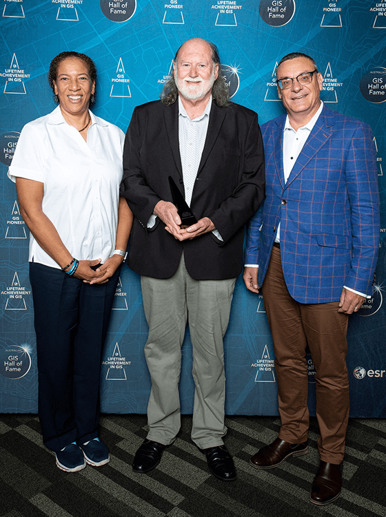
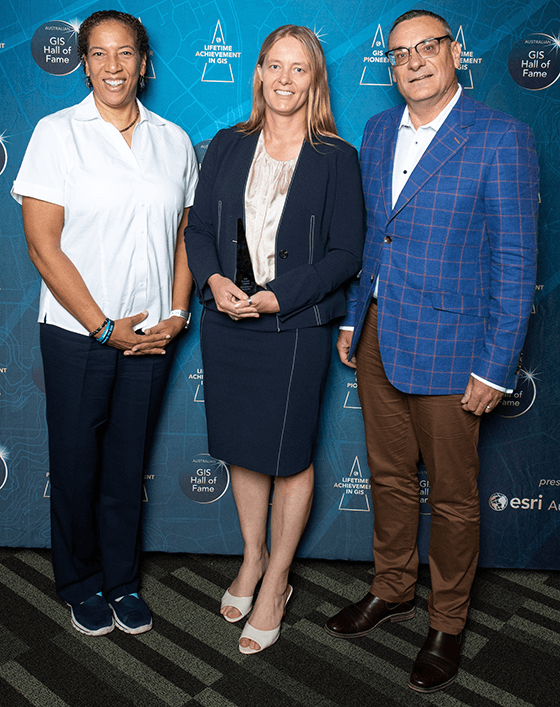
Lifetime Achievement in GIS Award
Gary Maguire, Director of StateStat Solution at South Australian Government
Presently serving as the Senior Geospatial Intelligence Officer and Director of StateStat – for the South Australian Department of the Premier and Cabinet – Gary Maguire has spent the last 30 years of his career actively rewriting the playbook for applied GIS.
A former National President of the Surveying and Spatial Sciences Institute (SSSI); a foundation board member of the internationally recognised Centre for Spatial Law and Policy – Mr Maguire has served as a passionate and tireless ambassador for the Australian geospatial community.
Whether it is in aid of South Australia's most vulnerable citizens; or enabling the highest levels of government; or simply stepping-up to champion the interests of his fellow geospatial community members – Mr Maguire's contribution to the Australian geospatial industry has been significant.
Currently, he is spearheading the innovative StateStat program for the South Australian government, which will provide all SA state leaders and ministers with the tools to make true evidence-based decisions and track department KPIs.