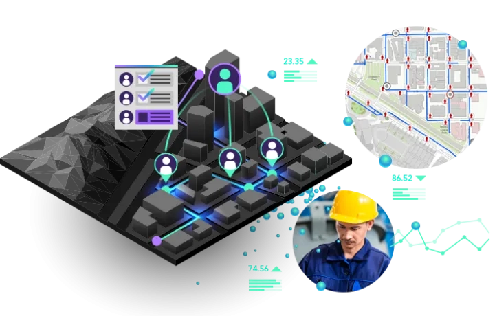
GIS is transforming AEC firms through improved workflows, better collaboration and strategic partnerships to build smart communities and assets for the future. Add location to design to understand projects in context and deliver repeatable solutions.
AEC business areas
Explore how geospatial intelligence transforms AEC workflows


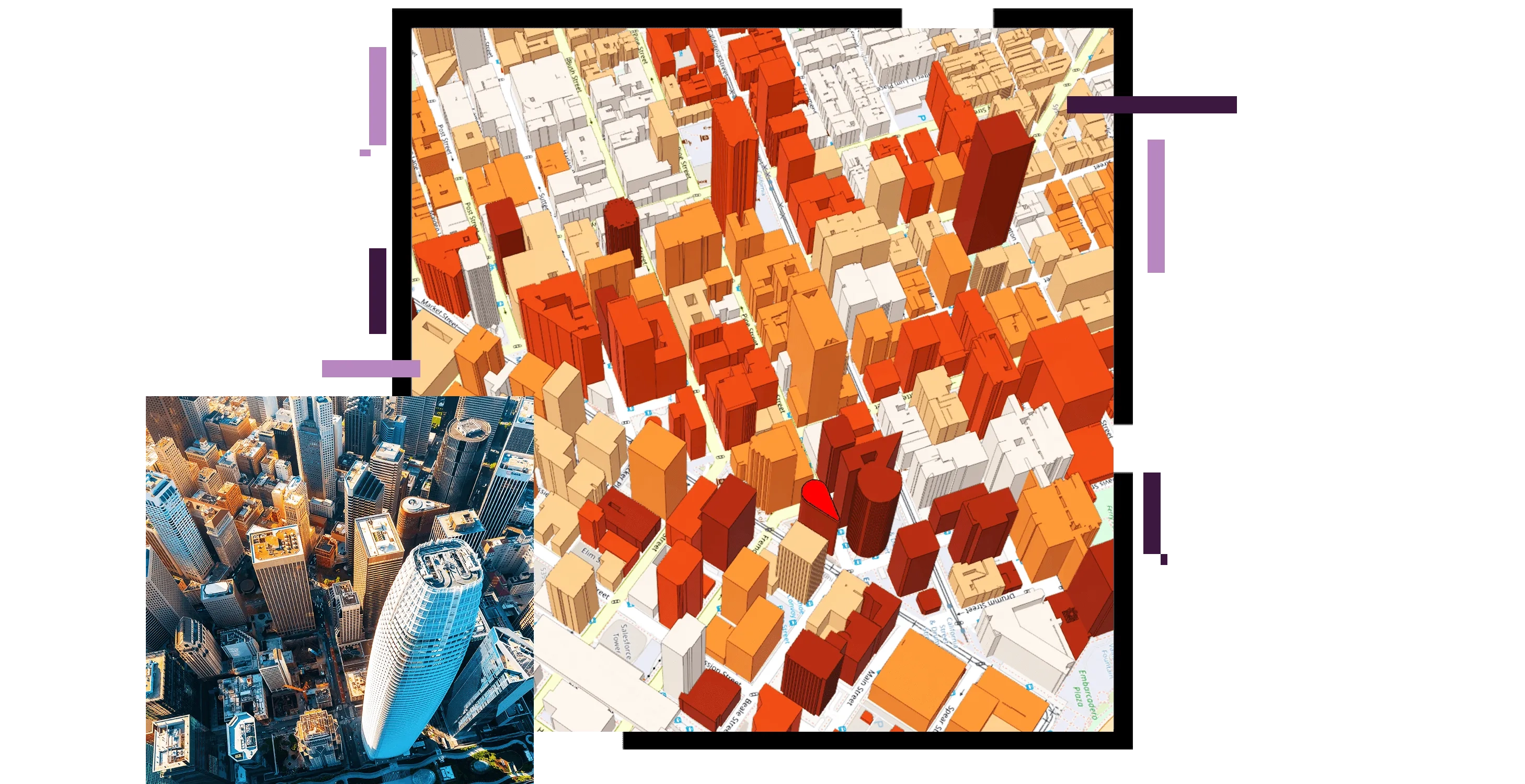
Transform urban planning and design workflows by empowering collaboration between planners, stakeholders and the community to address current needs and emerging demands.
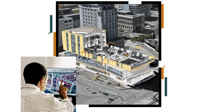
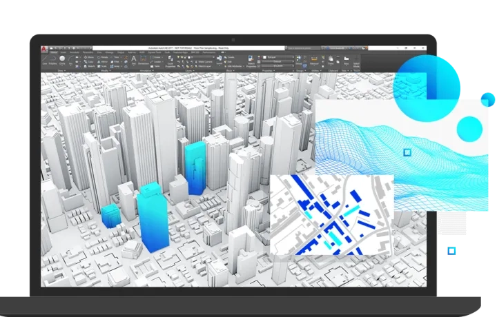
Combine CAD and BIM workflows with location intelligence for a complete understanding of the surrounding environment and to inform design and civil engineering decisions.
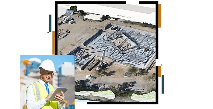
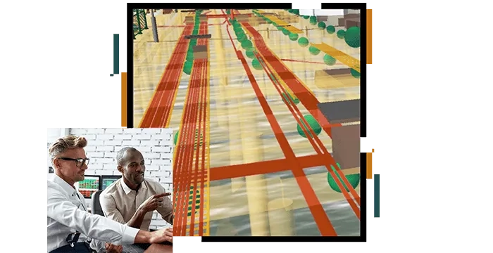
Take project construction management to a new level with the ability to monitor progress in maps, dashboards, and web apps fed from real-time location intelligence data sources.
Collect data, track assets and performance, maintain historical records and sustain an accurate inventory to enable efficient facilities management and the delivery of preventative maintenance.
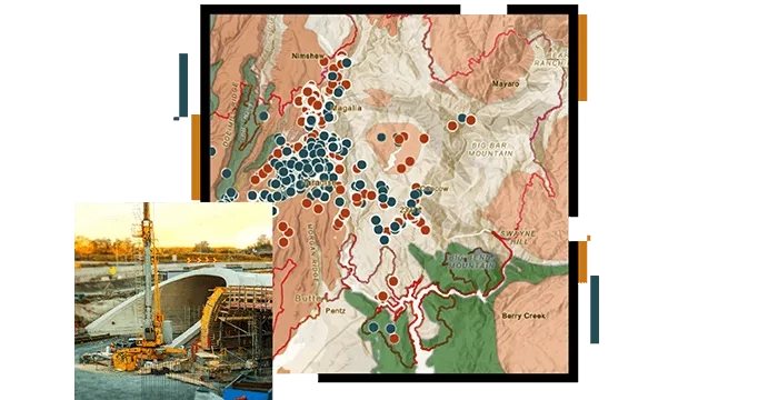
Integrate biological, social, and physical sciences to organise, analyse, manage and visualise geospatial data for due diligence, site assessment and remediation, environmental restoration and ecological modelling.
How to leverage GIS in AEC
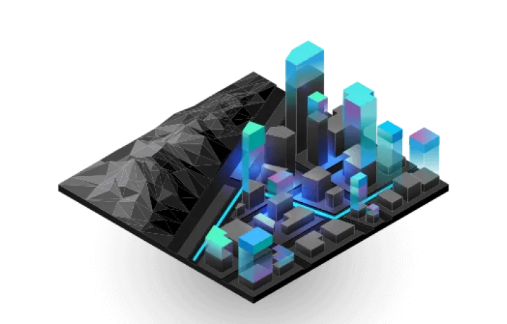
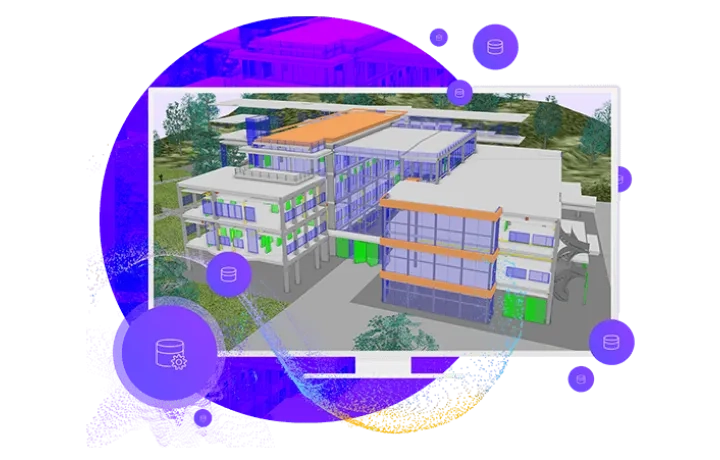
Digital twin
Create a virtual representation of the the natural and built environments for better context and business decisions.
GIS and BIM
Put GIS and BIM data at the centre of construction projects to deliver more sustainable and resilient projects.
Field data collection
Digitise field data collection workflows to enhance productivity and streamline access to your project data.
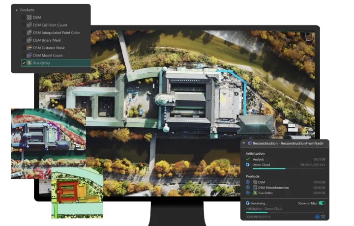
Reality mapping
Easily integrated collection and analysis of data on conditions throughout a project help inform staff as they make critical decisions that will have an impact for years.
ArcGIS Project Delivery subscription
Quickly deploy GIS projects and enable collaboration and information sharing directly and in real time with stakeholders.