Heron Island’s transparent waters and breathtaking reefs are home to several marine creatures — from the lemon, black tip and epaulette sharks to the eagle rays and guitar sharks — but most importantly, it’s a significant turtle nesting area.
Loggerhead (Caretta caretta) and Green turtles (Chelonia mydas) have been pivotal to maintaining the ecological balance of diverse terrestrial and marine ecosystems at Heron Island.
The rising temperatures caused by climate change have led to a notable increase in the number of female turtle hatchlings. This is a result of the temperature-dependent sex determination process that turtles undergo, creating a concerning imbalance and reproductive challenges.
To protect the species, Esri Australia’s GIS Education Officer Camilo Ayala embarked on a scientific research project aimed at identifying preferred nesting sites for Green and Loggerhead turtles.
Leveraging the power of ArcGIS tools and Geographical Information Systems (GIS) to understand the spatial and ecological patterns, the project revealed valuable insights and enabled a stronger understanding of the dynamic and complex ecosystem of our oceans.
Nesting habits
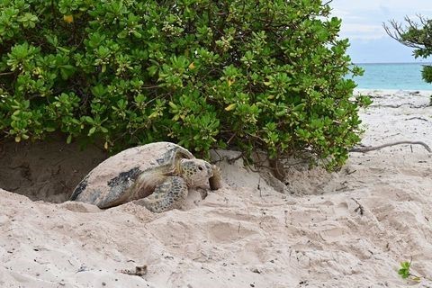
Female Loggerhead and Green turtles lay their eggs near the shore in carefully chosen sites that mirror their own birthplace.
They choose nesting sites based on multiple factors, including topography, temperature, moisture, tides, obstacles and predator threats.
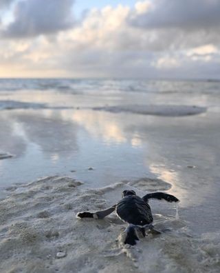
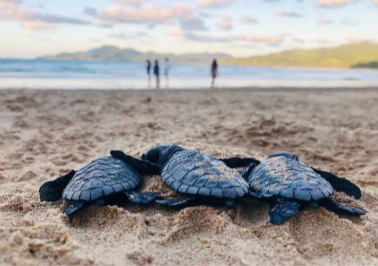
Eggs hatch after a 40–80-day incubation period, after which newborn turtles make their first journey to the sea.
The research project
Coordinates of turtle tracks and nests were recorded along Heron Island. The data collected included the species associated with each track or nest to determine the nesting habitat (beach, dune, grass, or under trees), and reporting any prominent obstacles encountered.
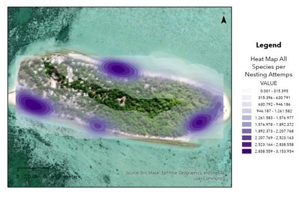
Leveraging the analytical capabilities of ArcGIS Pro, heat maps were generated to show conclusive findings regarding preferred turtle nesting sites along the island.
Protecting the young
Having identified the nesting spots around Heron Island, the insights can inform the implementation of vital management measures, such as applying restriction buffers during nesting seasons around hotspots on the heat maps.
Additionally, taking a comprehensive approach and cross-referencing the data with other variables — benthic classes, geomorphic characterisation, and tides — enhances the understanding of the turtles in the area.
Consequently, these efforts contribute to the conservation of the species, ensuring that baby turtles successfully reach the sea to embark on their journey in the open ocean.
Do you have a university research project where ArcGIS can be applied? Contact the Esri Australia education team for assistance.