Cutting-edge mapping technology saved more than $3 million from the bottom line of Australia's largest ever roadworks, according to one of the project's key architects.
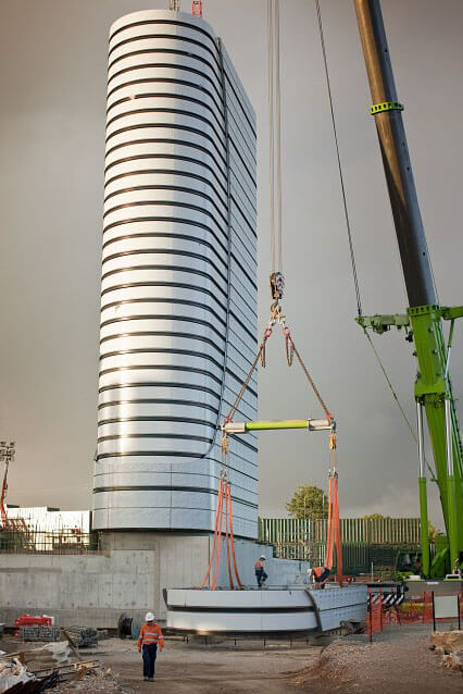
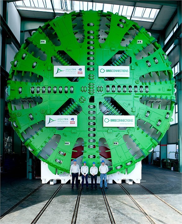
Stretching six kilometres under the heart of Brisbane, the AirportLinkM7 tunnel rivals those of the great Snowy Mountains scheme.
Engineering firm Thiess set new benchmarks in its construction, most remarkably in their use of Geographic Information System (GIS) technology from partners and GIS industry leader Esri Australia.
Thiess Project GIS Manager David Jaunay said there wasn’t an individual among the company’s 4,500 staff whose job was not made easier by the company’s GIS-centric approach.
“The simple layering capability and visual nature of GIS technology facilitates better decision-making,” Mr Jaunay said.
“Once Thiess’ staff became familiar with its advantages, usage went through the roof – with the central web-based viewer receiving up to 350 visits each day."
Mr Jaunay cited one example where the technology delivered savings of more than $3 million.
“Using GIS technology, we can analyse all the data pertaining to the project and its implications, and establish irrefutable evidence that empowers our team to make better operational decisions.
“For instance, we released modelling prior to construction on the impact that soil settlement above the tunnel would have on utility assets in the area.
“From this modelling, a utility owner identified a number of areas where settlement tolerance levels would be approached or exceeded, requiring potential asset relocation costs of around $4 million – for which the project would have been liable.
“Using GIS technology, we were able to take accurate measurements of actual soil settlement – collected by sensors placed along the site during the project – and overlay it on a map of utility asset data.
“By viewing data in this geographic context, we could clearly identify the original modelling had been too conservative in terms of protecting assets and that the actual settlement was substantially less than anticipated.
“From this we were able to provide evidence that reduced the utility’s claim by 80 percent, saving Thiess more than $3 million dollars – a considerable return on our GIS technology investment.”
Esri Australia GIS in Engineering specialist Peter Wilmot said beyond this significant saving, GIS technology played an essential role across every aspect of the AirportLink M7 project.
“Thiess expanded on their GIS integration experience from Victoria’s Eastlink and M80 projects, with the technology being used across teams, from executive management to safety, community and construction,” Mr Wilmot said.
“In the AirportLink M7 project, Thiess once again has set a new engineering benchmark in Australia, significantly improving business and project communications to achieve genuine time and cost savings.”
Mr Jaunay said while the AirportLinkM7 tunnel had set a benchmark for both scale and ingenuity in the use of GIS technology in Australia, Thiess were still striving for greater integration.
“Senior managers at Thiess understand the technology can generate savings far beyond the cost of implementation,” Mr Jaunay said.
“We are continuing to refine our implementation of GIS technology and are now incorporating it in the tender stage to deliver an even greater competitive advantage.”
If you would like to connect with our public relations team, submit a media enquiry.