With the launch of the GIS for Schools Program, Australian students are asking – and solving – big questions with spatial thinking skills.
GIS for Schools makes ArcGIS Online freely available to Australian teachers. This brings exciting opportunities for innovative teaching and learning.
Tomorrow's most effective leaders will leverage location analytics to solve global problems – and this expertise starts with the influential role tech-savvy teachers play in nurturing an understanding and passion for GIS.
So, what can GIS offer Australian students in the classroom and beyond?
Here are five big benefits, as told by Australian teachers who have joined the GIS for Schools program.
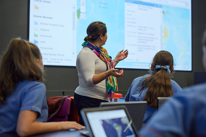
1. Develop confident thinkers
“My class is more confident in communicating and justifying their ideas – simply because they truly understand the facts thanks to the clear visual platform GIS provides.”
Skye Rodgers
Mackay State High, Queensland
2. Explore your local environment
“We do lots of outdoor activities including creek water studies, flora and fauna recordings, camping, hiking and cross-country mapping. GIS has provided a new level of connection between the recording of data, mapping and sharing to the community.”
Wendy Powell and Amanda de Lacey
Candlebark Primary School, Victoria
3. Engage in real-world problem-solving
“GIS provides decision-making skills for real, global issues… Students respond much better to real-world data. Their analysis is better, they interpret clearer patterns, and have rich anomalies to investigate.”
Jenny Knight – Head of Humanities
All Hallows’ School, Brisbane
4. Expand career opportunities
“Teaching with GIS puts Geography students well and truly on the correct side of the Digital Divide. It sets them up for life with spatial and analytical thinking for the rapidly growing career pathways in digital and spatial technologies.”
Steve Latham
Geography Teachers’ Association of Victoria
5. Bring global data to your STEM program
“We believe having access to GIS will provide the digital skills needed for our students to understand how data can drive the world in new and exciting ways within our STEM subjects.”
Michael Duggan
Pioneer State High School, Queensland
Joining the GIS for Schools Program
Any Australian teacher can join the GIS for Schools Program, and request a free ArcGIS Online account for their school. Each account can be shared by up to 500 students and teachers – with everyone having their own secure username and password.
In addition, teachers can access a gallery of ready-to-go instructional materials, with curriculum-linked activities for students.
For educators wanting to improve their GIS skills, Esri Australia also offers self-guided professional learning activities or workshop events.
More than 200 schools across Australia have already joined the GIS for Schools program. Take a look at some of the projects and pictures that have been shared in this Story Map.
To find out more about the GIS for Schools Program, visit our homepage or request ArcGIS Online for your school.